
Filter by
The language used throughout the course, in both instruction and assessments.
Results for "geografisches+informationssystem+(gis)"

University of California, Davis
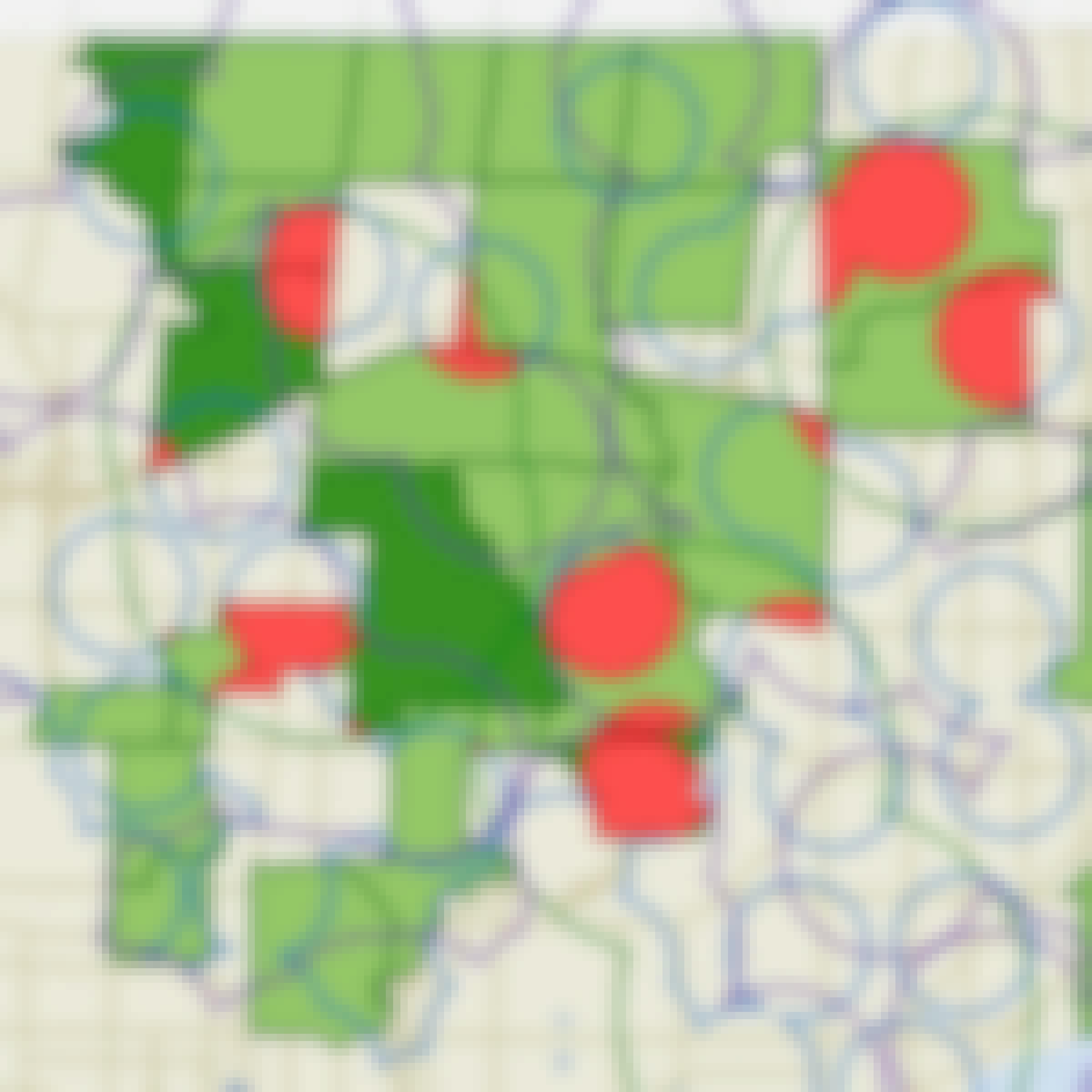
Skills you'll gain: ArcGIS, GIS Software, Spatial Analysis, Data Storytelling, Spatial Data Analysis, Geographic Information Systems, Data Presentation, Data Sharing, Geospatial Mapping, Geospatial Information and Technology, Land Management, Heat Maps, Epidemiology, Metadata Management, Data Mapping, Data Visualization Software, Data Quality, File Management, Network Analysis, Data Modeling
University of California, Davis
Skills you'll gain: ArcGIS, GIS Software, Data Sharing, Geographic Information Systems, Geospatial Mapping, Metadata Management, Data Quality, Data Mapping, File Management, Data Import/Export
University of Toronto
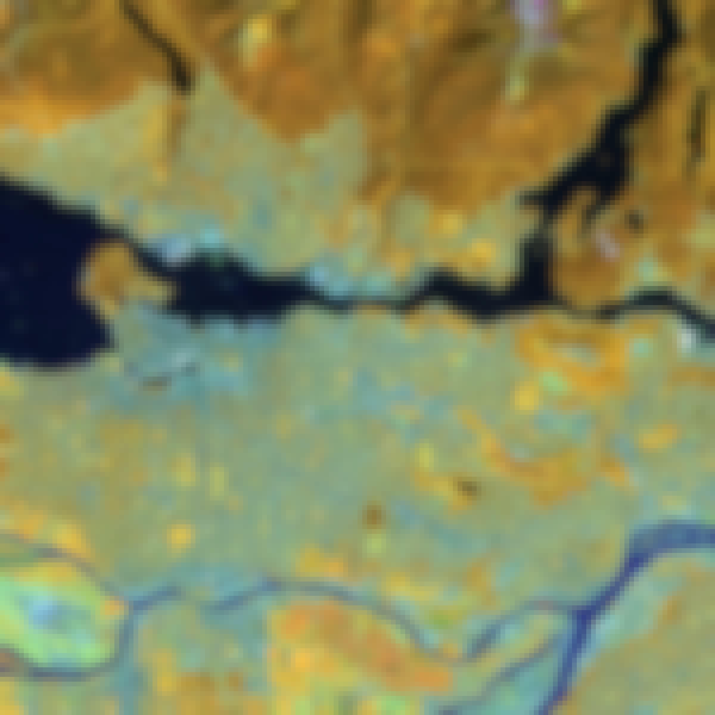
Skills you'll gain: ArcGIS, GIS Software, Spatial Data Analysis, Spatial Analysis, Geographic Information Systems, Geospatial Mapping, Geospatial Information and Technology, Data Mapping, Data Visualization, Metadata Management, Query Languages, Data Manipulation, Data Synthesis, Quantitative Research, Data Compilation, Data Processing, Typography, Data Cleansing, Data Validation, Data Storytelling
University of Toronto
Skills you'll gain: ArcGIS, GIS Software, Spatial Data Analysis, Geographic Information Systems, Geospatial Information and Technology, Geospatial Mapping, Data Mapping, Data Collection

L&T EduTech
Skills you'll gain: Geospatial Information and Technology, Spatial Analysis, GIS Software, Spatial Data Analysis, Geographic Information Systems, Geospatial Mapping, Database Management, Database Management Systems, Construction Management, ArcGIS, Relational Databases, Visualization (Computer Graphics), Heat Maps, Civil and Architectural Engineering, Global Positioning Systems, Decision Support Systems, Building Information Modeling, As-Built Drawings, Survey Creation, AutoCAD Civil 3D
 Status: Free
Universidad Nacional Autónoma de México
Skills you'll gain: R Programming, Statistical Programming, Ggplot2, Data Manipulation, Simulations, Statistical Visualization, Data Science, Visualization (Computer Graphics), Data Processing, Graphing, Data Import/Export, Scripting, Software Installation
University of Toronto
Skills you'll gain: Spatial Analysis, Geographic Information Systems, Geospatial Mapping, ArcGIS, GIS Software, Data Manipulation, Data Synthesis, Data Visualization, Data Compilation, Data Processing, Data Mapping, Data Storytelling, Metadata Management, Data Integration, Data Management

Skills you'll gain: Google Cloud Platform, Network Analysis
University of Toronto
Skills you'll gain: Geographic Information Systems, GIS Software, Spatial Analysis, Spatial Data Analysis, Geospatial Mapping, Query Languages, Data Processing, Data Manipulation, Image Analysis
 Status: Free
École Polytechnique Fédérale de Lausanne
Skills you'll gain: Geographic Information Systems, GIS Software, Spatial Data Analysis, Spatial Analysis, NoSQL, Data Modeling, Database Design, Databases, SQL, Data Storage, Data Capture, Data Management, Data Manipulation
University of Toronto
Skills you'll gain: Geographic Information Systems, Geospatial Mapping, Data Mapping, Spatial Data Analysis, Data Visualization, Metadata Management, Quantitative Research, Typography, Data Cleansing, Data Validation, Design Elements And Principles, Data Integration

L&T EduTech
Skills you'll gain: Spatial Analysis, GIS Software, Spatial Data Analysis, Geospatial Mapping, Geographic Information Systems, Heat Maps, Building Information Modeling, Global Positioning Systems, Network Analysis, Image Analysis, Data Import/Export, Unsupervised Learning, Software Installation, Supervised Learning, User Interface (UI)
In summary, here are 10 of our most popular geografisches+informationssystem+(gis) courses
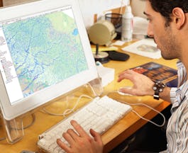
- Geographic Information Systems (GIS): University of California, Davis
- Fundamentals of GIS: University of California, Davis
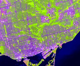
- GIS, Mapping, and Spatial Analysis: University of Toronto
- Introduction to GIS Mapping: University of Toronto
- Geospatial Techniques for Engineers: L&T EduTech
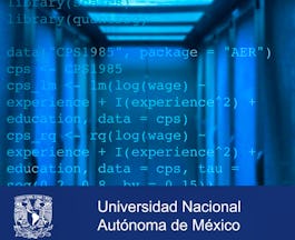
- Introducción a Data Science: Programación Estadística con R: Universidad Nacional Autónoma de México
- GIS, Mapping, and Spatial Analysis Capstone: University of Toronto
- Getting Started with BigQuery GIS for Data Analysts: Google Cloud
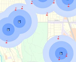
- Spatial Analysis and Satellite Imagery in a GIS: University of Toronto
- Geographical Information Systems - Part 1: École Polytechnique Fédérale de Lausanne


