- Query Languages
- Geographic Information Systems
- Spatial Analysis
- Data Manipulation
- Geospatial Mapping
- Spatial Data Analysis
- GIS Software
- Geospatial Information and Technology
- Image Analysis
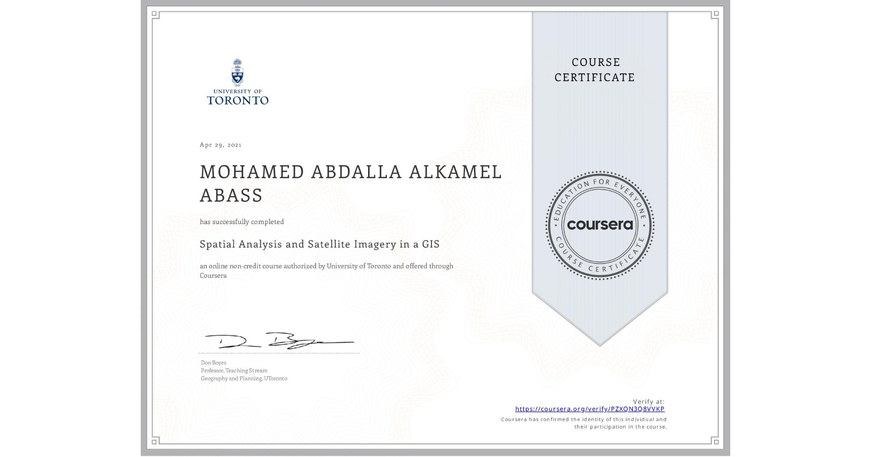
Spatial Analysis and Satellite Imagery in a GIS
Completed by MOHAMED ABDALLA ALKAMEL ABASS
April 29, 2021
14 hours (approximately)
MOHAMED ABDALLA ALKAMEL ABASS's account is verified. Coursera certifies their successful completion of Spatial Analysis and Satellite Imagery in a GIS
Skills you will gain

