- Data Presentation
- Spatial Analysis
- ArcGIS
- Data Manipulation
- Geospatial Mapping
- Data Storytelling
- Geographic Information Systems
- Network Analysis
- Data Visualization Software
- Heat Maps
- Spatial Data Analysis
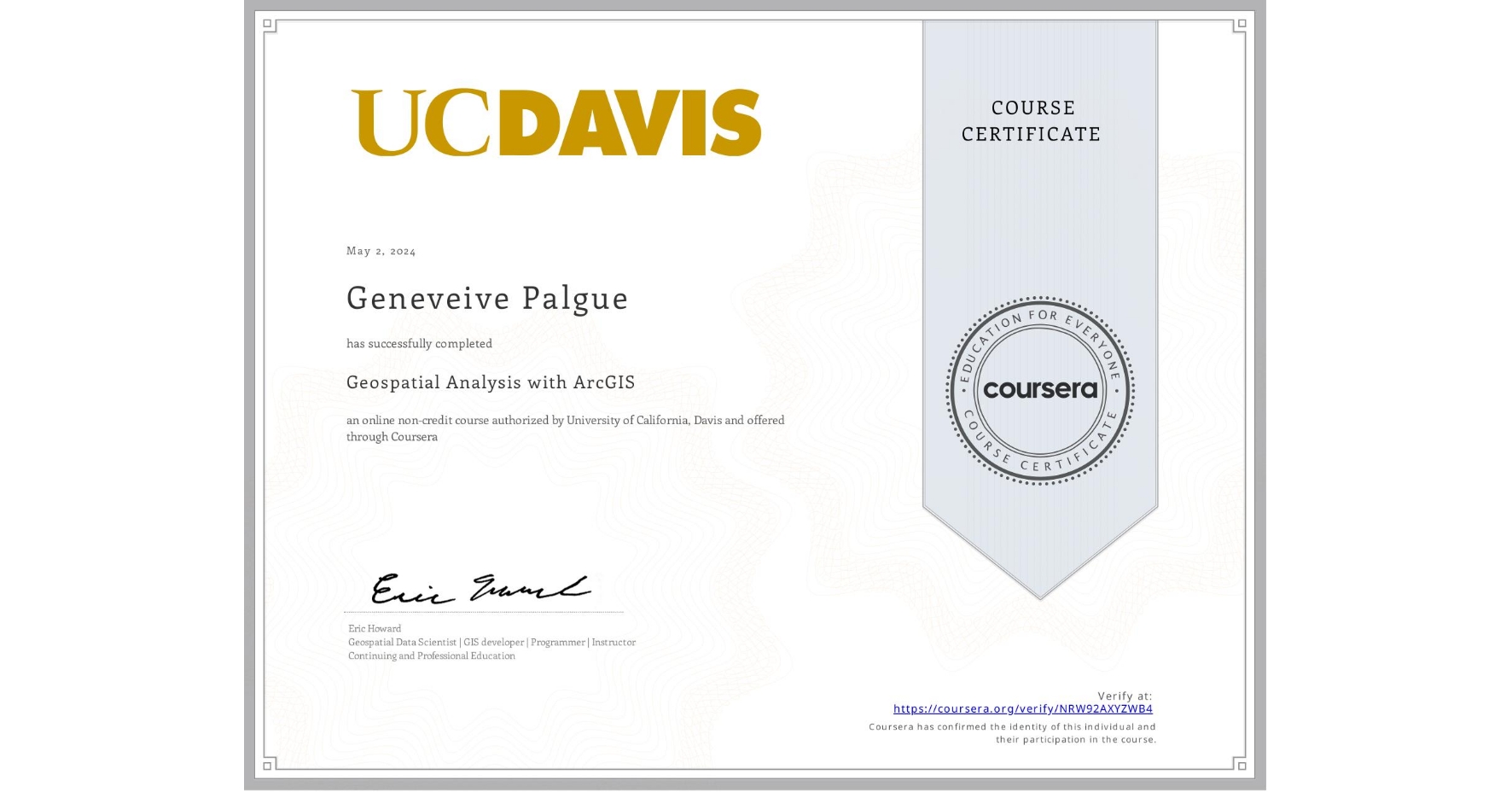
Geospatial Analysis with ArcGIS
Completed by Geneveive Palgue
May 1, 2024
12 hours (approximately)
Geneveive Palgue's account is verified. Coursera certifies their successful completion of Geospatial Analysis with ArcGIS
Skills you will gain

