- Convolutional Neural Networks
- Feature Engineering
- Dimensionality Reduction
- Unsupervised Learning
- Computer Vision
- Classification Algorithms
- Probability & Statistics
- Supervised Learning
- Image Analysis
- Artificial Neural Networks
- Spatial Analysis
- Machine Learning Methods
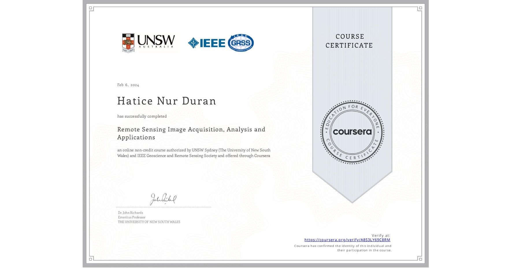
Remote Sensing Image Acquisition, Analysis and Applications
Completed by Hatice Nur Duran
February 6, 2024
22 hours (approximately)
Hatice Nur Duran 's account is verified. Coursera certifies their successful completion of Remote Sensing Image Acquisition, Analysis and Applications
Skills you will gain

