- Data Import/Export
- Data Management
- Geospatial Mapping
- Data Presentation
- GIS Software
- Spatial Data Analysis
- Geospatial Information and Technology
- Data Integration
- Data Visualization
- Data Mapping
- ArcGIS
- Geographic Information Systems
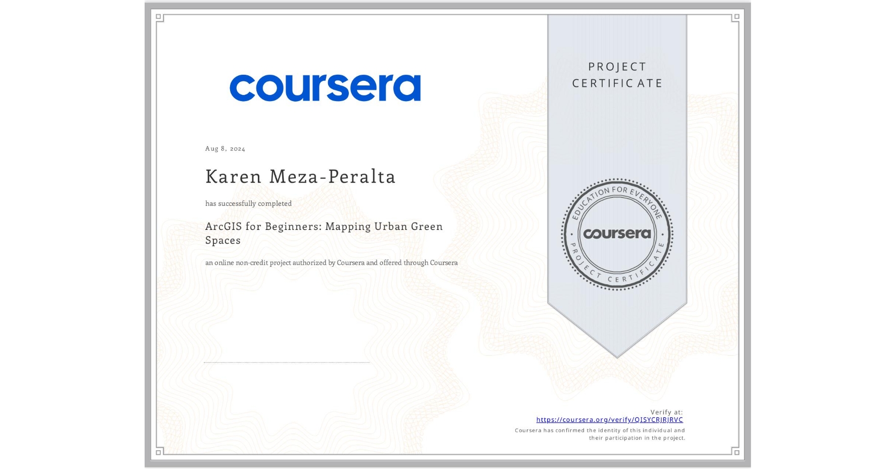
ArcGIS for Beginners: Mapping Urban Green Spaces
Completed by Karen Meza-Peralta
August 7, 2024
1 hours (approximately)
Karen Meza-Peralta's account is verified. Coursera certifies their successful completion of ArcGIS for Beginners: Mapping Urban Green Spaces
What you will learn
Familiarize yourself with the ArcOnline environment and become comfortable with importing new layers and analyzing table data.
Understand how to perform basic aerial analyses and change the map symbology. Learn how to make a user-friendly map for potential clients.
Apply the cumulative geospatial information into a tool for non-technical users. Become proficient in amplifying your map's information density.
Skills you will gain

