- Image Analysis
- Geospatial Mapping
- Spatial Analysis
- Query Languages
- Data Manipulation
- Geographic Information Systems
- GIS Software
- Geospatial Information and Technology
- Spatial Data Analysis
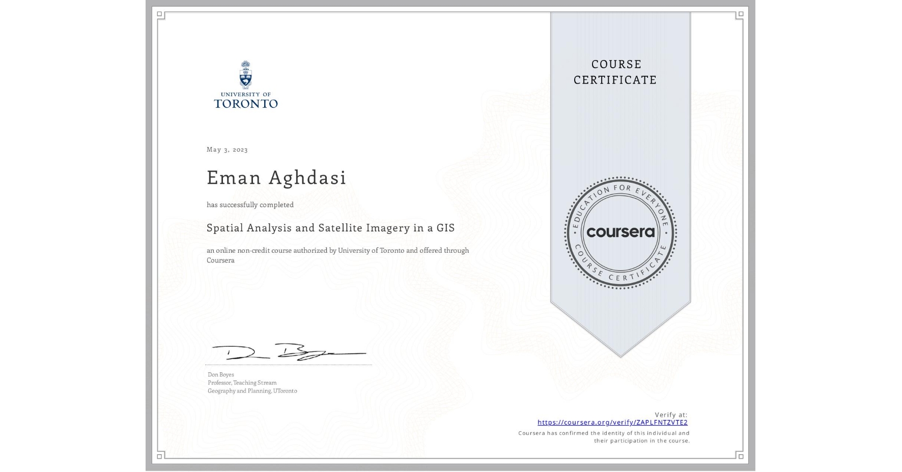
Spatial Analysis and Satellite Imagery in a GIS
Completed by Eman Aghdasi
May 3, 2023
14 hours (approximately)
Eman Aghdasi's account is verified. Coursera certifies their successful completion of Spatial Analysis and Satellite Imagery in a GIS
Skills you will gain

