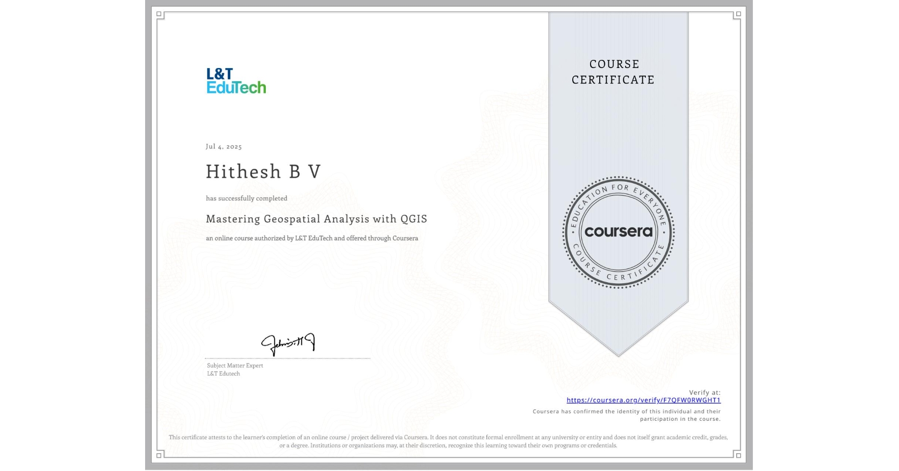
Mastering Geospatial Analysis with QGIS
Completed by Hithesh B V
July 4, 2025
19 hours (approximately)
Hithesh B V's account is verified. Coursera certifies their successful completion of Mastering Geospatial Analysis with QGIS

What you will learn
Learn QGIS basics, data formats, and practical skills for handling vector/raster data and using tools like Field Calculator.
Master map styling, georeferencing, and digitization, including creating choropleth maps and integrating GPS data.
Explore advanced spatial analysis, satellite data classification, terrain modeling, and geospatial application development with QGIS.
Skills you will gain
- Category: Global Positioning Systems
- Category: Geospatial Information and Technology
- Category: Building Information Modeling
- Category: Classification Algorithms
- Category: Software Installation
- Category: Geospatial Mapping
- Category: Geographic Information Systems
- Category: Spatial Analysis
- Category: Network Analysis
- Category: GIS Software
- Category: Spatial Data Analysis