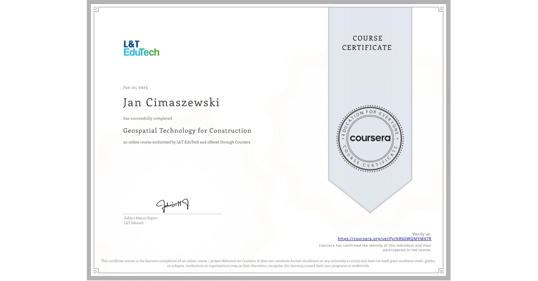
Geospatial Technology for Construction
Completed by Jan Cimaszewski
June 21, 2025
15 hours (approximately)
Jan Cimaszewski's account is verified. Coursera certifies their successful completion of Geospatial Technology for Construction

What you will learn
Learn fundamental geospatial concepts and their application in construction, from spatial data communication to practical case studies.
Explore surveying methods, equipment like GNSS and electronic total stations, and practical uses in mapping and data processing.
Understand remote sensing, photogrammetry, LiDAR, and UAVs, with a focus on data collection, imaging, and geospatial engineering solutions.
Skills you will gain
- Category: Geospatial Information and Technology
- Category: Global Positioning Systems
- Category: Geospatial Mapping
- Category: Construction Engineering
- Category: Construction