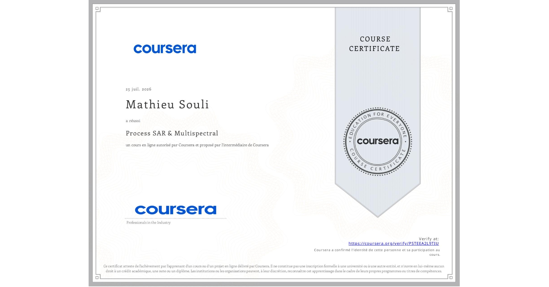
Process SAR & Multispectral
Completed by Mathieu Souli
July 25, 2026
2 hours (approximately)
Mathieu Souli's account is verified. Coursera certifies their successful completion of Process SAR & Multispectral

What you will learn
Process SAR imagery for flood mapping when clouds block optical data, applying speckle filtering to improve clarity
Detect post-disaster changes using multispectral imagery to identify areas where flooding altered surface conditions
Evaluate analysis reliability using accuracy metrics and identify limitations before sharing disaster response results
Skills you will gain
- Category: Data Analysis
- Category: Analytical Skills
- Category: Cloud Applications
- Category: Spatial Data Analysis
- Category: Spatial Analysis
- Category: Data Validation
- Category: Image Analysis
- Category: Process Validation
- Category: Geospatial Mapping
- Category: Technical Communication
- Category: Geospatial Information and Technology