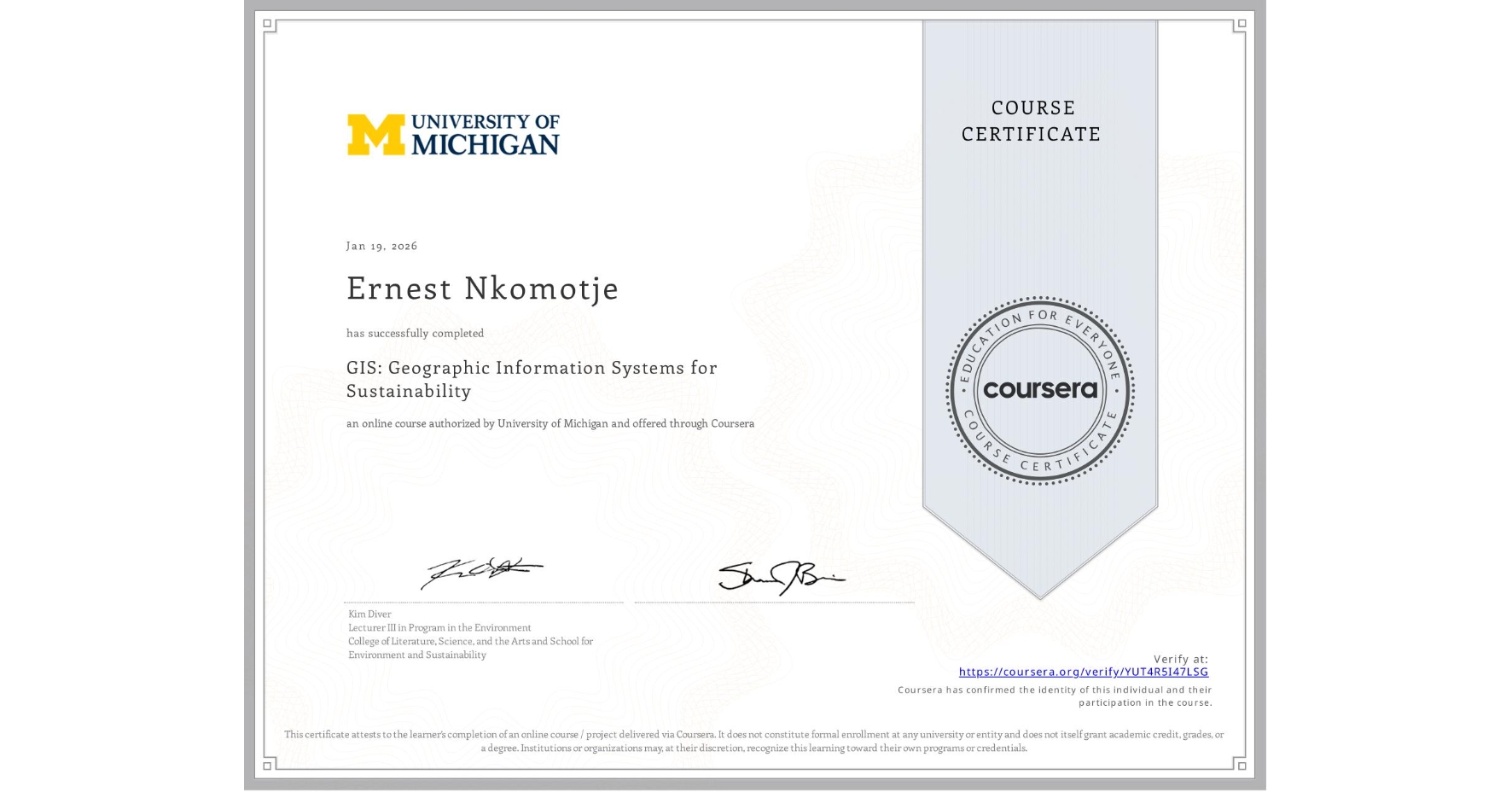
GIS: Geographic Information Systems for Sustainability
Completed by Ernest Nkomotje
January 19, 2026
18 hours (approximately)
Ernest Nkomotje's account is verified. Coursera certifies their successful completion of GIS: Geographic Information Systems for Sustainability

What you will learn
Learn how GIS are used for solving complex environmental and sustainability problems
Analyze spatial data to visualize and assess sustainability issues
Learn to engage stakeholders using geospatial visualizations
Gain insight on the importance of GIS for environmental decision-making
Skills you will gain
- Category: Trend Analysis
- Category: Data Visualization
- Category: Spatial Analysis
- Category: Sustainable Development
- Category: Datamaps
- Category: Spatial Data Analysis
- Category: Data Storytelling
- Category: Geographic Information Systems
- Category: Geospatial Mapping