
Filter by
The language used throughout the course, in both instruction and assessments.
Results for "remote-sensing"
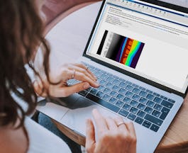
Skills you'll gain: Matlab, Data Visualization, Computer Graphic Techniques, Computer Vision, Scientific Visualization, Visualization (Computer Graphics)
University of Illinois Urbana-Champaign
Skills you'll gain: Critical Thinking
 Status: Free
École Polytechnique Fédérale de Lausanne
Skills you'll gain: Data Visualization, Databases, Spatial Analysis, SQL
 Status: Free
Rutgers the State University of New Jersey
University of Leeds
Skills you'll gain: Data Visualization
Skills you'll gain: Cloud Computing, Cloud Storage

Google Cloud
Skills you'll gain: Cloud Computing

Google Cloud
Skills you'll gain: Google Cloud Platform

Google Cloud
Skills you'll gain: Cloud API, Cloud Storage, Network Analysis
 Status: Free
Pontificia Universidad Católica de Chile

Università di Napoli Federico II
Skills you'll gain: Business Intelligence

Coursera Project Network
Skills you'll gain: Cloud Computing, Data Science, Machine Learning
In summary, here are 10 of our most popular remote-sensing courses
- Image Processing for Engineering and Science: MathWorks
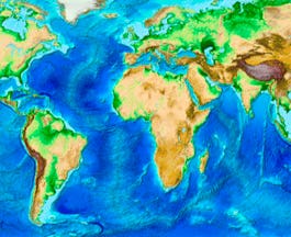
- Planet Earth...and You!: University of Illinois Urbana-Champaign
- Systèmes d’Information Géographique - Partie 1: École Polytechnique Fédérale de Lausanne
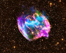
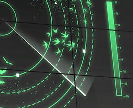
- Analyzing the Universe: Rutgers the State University of New Jersey
- Aeroecology: Exploring Biodiversity with Radar: University of Leeds
- Classify Images of Clouds in the Cloud with AutoML Vision: Google Cloud
- Distributed Image Processing in Cloud Dataproc: Google Cloud
- Weather Data in BigQuery: Google Cloud
- Scanning User-generated Content Using the Cloud Video Intelligence and Cloud Vision APIs: Google Cloud
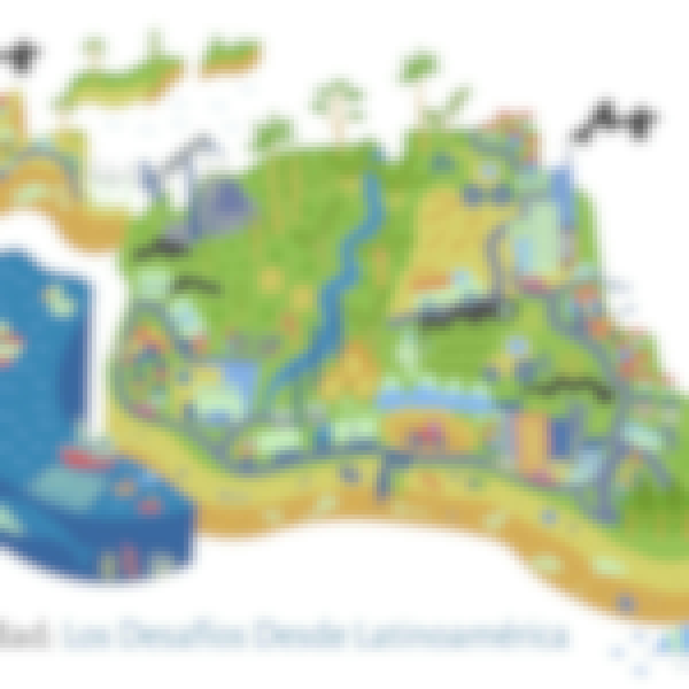
- Sustentabilidad: los desafíos desde Latinoamérica: Pontificia Universidad Católica de Chile


